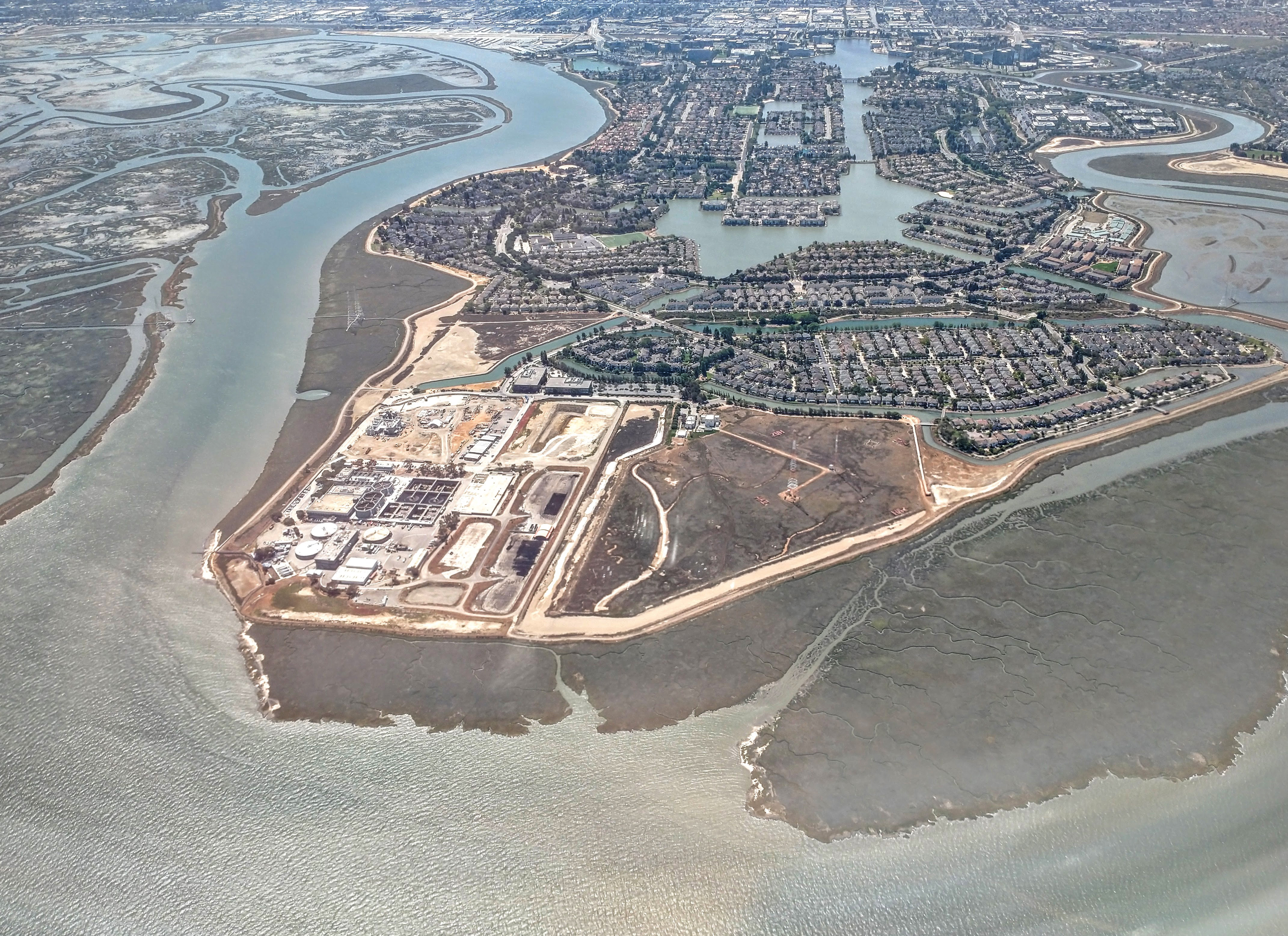
The National Weather Service warns that low-lying areas along San Francisco Bay, including Burlingame’s bayfront, face a risk of up to 1.6 feet of flooding above ground level during high tides through Friday, Nov. 13.
A Coastal Flood Advisory for the San Francisco Bay shoreline was updated Thursday, Nov. 5, and runs through 4 p.m. Pacific time Nov. 13, according to the NWS San Francisco office. The advisory covers bayshore locations along San Francisco Bay and San Pablo Bay, including San Mateo County.
High tides will flood low-lying infrastructure, the agency said. Isolated road closures and coastal erosion are possible. Rising tides will push water and waves farther up the shoreline than normal.
The peak forecast tide levels fall Saturday through Monday, Nov. 7-9. The NWS expects water levels at the San Francisco tide gauge to reach 1.6 feet above normal on all three days. Tides remain elevated through Nov. 13, with levels 1.2 to 1.5 feet above normal in the advisory’s final days.
The tide predictions already include up to 1.5 feet of surge, the NWS said. High tide timing can vary by up to 90 minutes along the bay.
Beach hazards through Monday
A separate Beach Hazards Statement covers the Pacific Coast, including the San Francisco Peninsula coastline, from 5 a.m. Thursday, Nov. 5, through Monday evening, Nov. 9. The NWS expects breaking waves of 12 to 16 feet at exposed beaches, along with sneaker waves and strong rip currents. These surf hazards apply to ocean-facing beaches, rather than Burlingame’s bay shoreline.
“A Beach Hazard Statement is in effect for the coast, there is a lot of incoming swell, which is increasing the risk of sneaker waves and strong rip currents,” NWS meteorologist Rachel Kennedy said in a Bay City News report published by Local News Matters.
Unexpected waves can knock people off beaches, rocks and jetties and carry them into the ocean, the NWS warned.
What residents should do
The NWS advises drivers to allow extra time, never drive around barricades and not drive through water of unknown depth. Property owners in flood-prone areas should take protective steps.
Along the coast, the agency urges people to stay off jetties, piers, rocks and other waterside structures. Beachgoers should keep watching the ocean for approaching waves.
Warming trend, then rain
The advisories arrive alongside a warming trend across the Bay Area. Building high pressure is bringing warmer weather, with dry conditions expected into the middle of next week. Rain could return by mid-to-late next week, according to the NWS forecast discussion.
The NWS advises residents to monitor local weather, surf and tide forecasts at weather.gov/mtr.