A new 6-mile hiking and biking trail through one of the Bay Area's most protected landscapes opened Monday, Aug. 24, giving area residents a rare chance to explore the Peninsula Watershed on their own schedule.
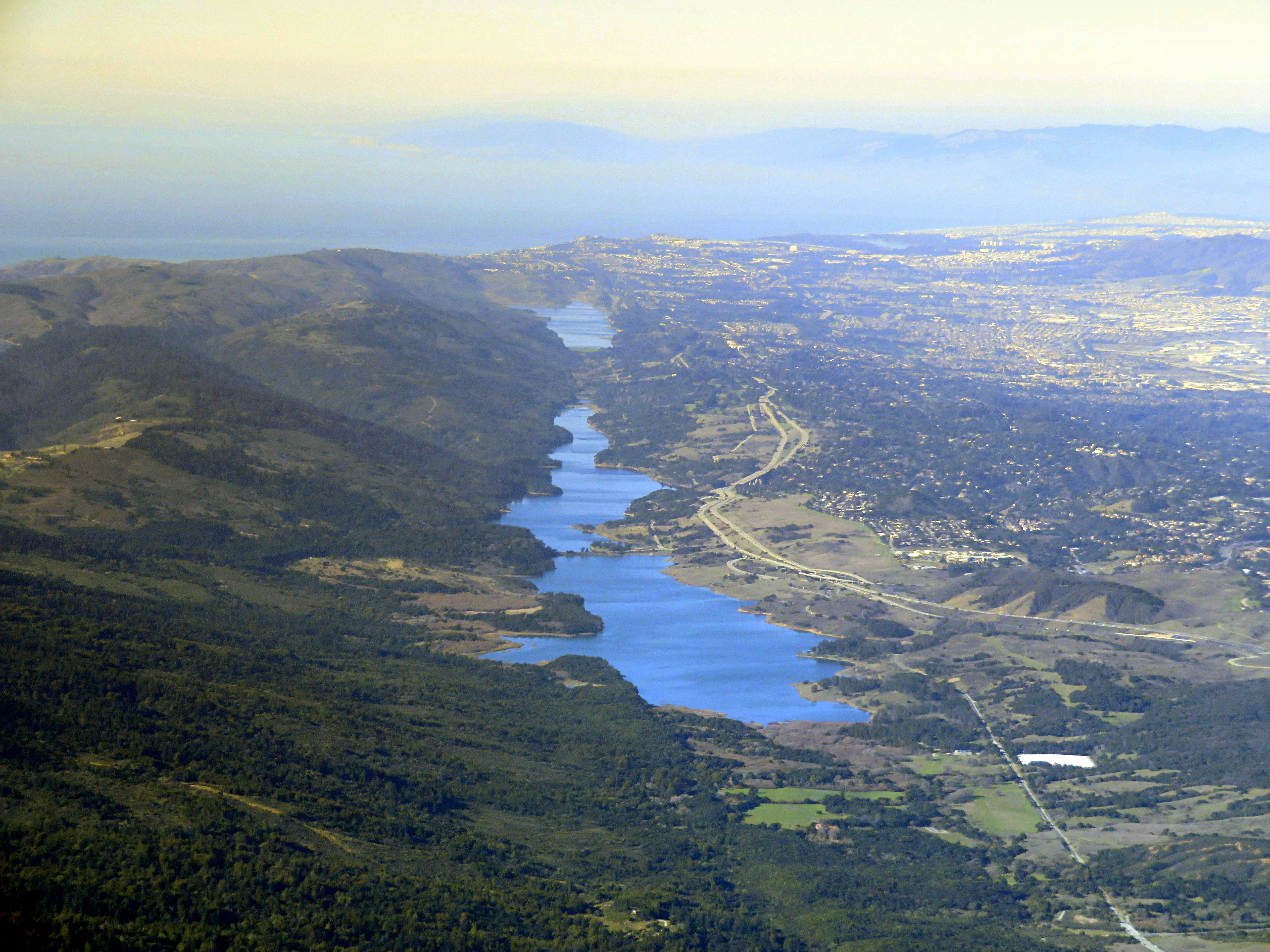
The Skyline Watershed Ridge Trail, built by the San Francisco Public Utilities Commission at a cost of $25.5 million, runs south from the Highway 92 and Highway 35 intersection to the boundary of the Golden Gate National Recreation Area's Phleger Estate. The route passes through grasslands, Douglas fir forests and redwood groves, with views of the Pacific Ocean, San Francisco Bay and Crystal Springs Reservoir, according to the SFPUC.
Unlike the nearby Fifield-Cahill Ridge Trail, which requires guided docent-led outings, the new trail is self-guided. Hikers, runners, cyclists and equestrians can come and go during open hours after obtaining a free annual permit.
"I figured we're on a ridge, right? How wet can it be? But there were lots of seeps and springs," Lisa Wayne, the SFPUC's watershed resources manager who led the trail work, told the San Francisco Chronicle during a media tour on Aug. 13, describing the biggest construction surprise.
The SFPUC Commission first approved the project in May 2021, with construction originally expected to wrap up in 2023.
What you need to know
Permits: Free and required. Apply online at sfpuc.gov/trails or at the trailhead where cell service is available. Permits are valid for the calendar year and cover groups of up to six people.
Hours: 6 a.m. to 6 p.m. daily.
Parking: A free lot on Highway 35, just south of the Highway 92 intersection near Skylawn Memorial Park, offers 22 standard spaces, five trailer spaces and two ADA-accessible spaces. First-come, first-served.
Terrain: The 6-foot-wide crushed-rock surface gains about 1,500 feet of elevation heading south over the 6-mile one-way route, with grades reaching 23.5%. Mountain-terrain bikes are recommended.
Rules: No dogs. No e-bikes or motorized vehicles. Pack out all trash. No potable water on the trail; vault toilets are near mile markers 2 and 5.
Part of a bigger network
The trail is the newest segment of the Bay Area Ridge Trail, a planned 550-mile regional network now about 75% complete at 413 miles. The SFPUC is also working with Midpeninsula Regional Open Space District on a future spur connecting the trail's southern end to the Purisima Creek Redwoods Open Space Preserve parking area on Skyline Boulevard, expected in roughly two years.
The agency also created a half-mile, ADA-accessible Watershed Discovery Trail north of Highway 92, featuring tactile 3D interpretive panels for visitors who are blind or have low vision.
San Mateo County Supervisor Ray Mueller said in the SFPUC's Aug. 20 announcement that the trail gives residents "a new way to experience this special part of San Mateo County," noting the watershed provides drinking water to communities across northern San Mateo County and San Francisco.
The Peninsula Watershed spans 23,000 acres and has been largely off-limits to the public for most of San Francisco's history. It harbors more than 165 bird species, 800 plant species and 50 mammal species.
Directions: From the Highway 92 and Highway 35 intersection, drive south on Highway 35 approximately 0.10 miles; the parking area is on the left. Questions can be directed to [email protected].