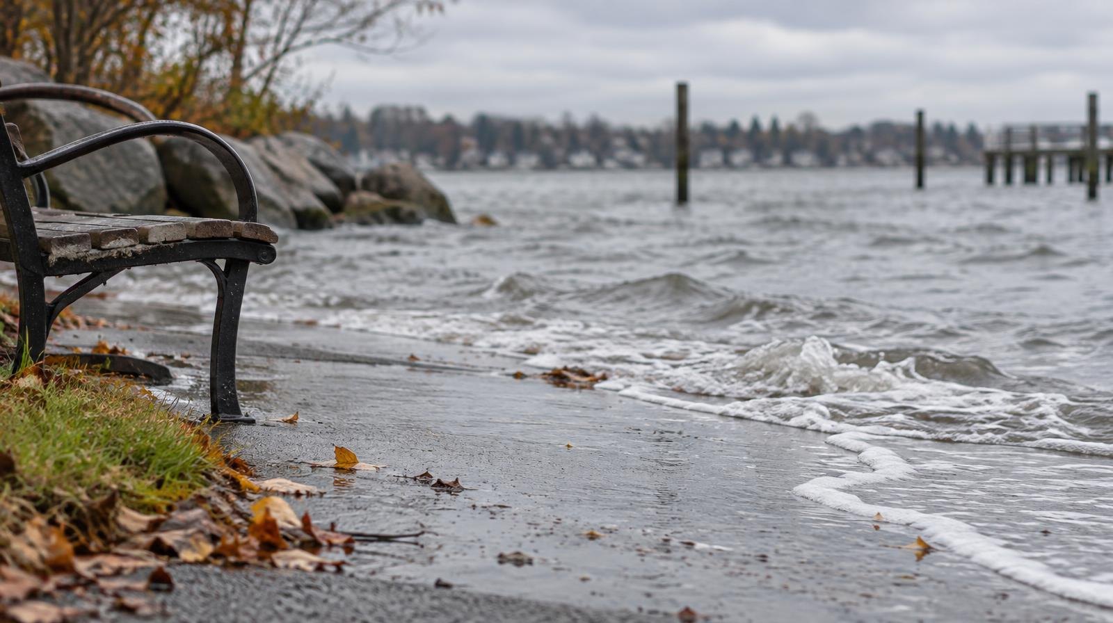
High tides along San Francisco Bay could flood low-lying roads and trails near Burlingame’s bayfront through Friday, Oct. 30, according to a National Weather Service coastal flood advisory.
The advisory, updated Tuesday, Oct. 27, warns that water could reach up to 2.1 feet above ground level in low-lying shoreline areas and near tidal waterways. It covers shoreline locations along San Pablo Bay, San Francisco Bay and Monterey Bay through 5 p.m. PDT Friday.
The NWS warns of flooding affecting low-lying infrastructure, scattered road closures and coastal erosion.
Peak tides this week
The advisory forecast the following high tides at the San Francisco gauge:
- Tuesday, Oct. 27: 12:15 p.m., 2.1 feet above normal.
- Wednesday, Oct. 28: 12:56 p.m., 1.9 feet above normal.
- Thursday, Oct. 29: 1:43 p.m., 1.7 feet above normal.
- Friday, Oct. 30: 2:39 p.m., 1.6 feet above normal.
These forecasts include up to 1.2 feet of surge. Tide timing can be up to 90 minutes later inside San Francisco Bay. The advisory does not provide a Burlingame-specific peak time.
Marin flooding hit Monday
High tides flooded roads in Marin County on Monday, Oct. 26, including Shoreline Highway near the Highway 101 interchange in Marin City. At least one driver became stranded in Mill Valley, ABC7 reported.
Mill Valley Fire Department Battalion Chief Adam Vollmer said tides were expected to rise slightly higher Tuesday and that emergency planners were monitoring conditions, according to ABC7.
Why Burlingame is vulnerable
Burlingame and Millbrae have low-lying, heavily developed shoreline areas with limited room for flood protection, according to OneShoreline, the San Mateo County Flood and Sea Level Rise Resiliency District.
The shoreline project area includes Highway 101, two water treatment plants, a major rail corridor, hotels and business parks.
OneShoreline identifies two flood hazards: Bay water reaching the shoreline during high tides and surges, and inland flooding when heavy rain overwhelms drainage systems while high tides impede drainage.
The agency’s project page documents Bay Trail flooding in Burlingame during king tides on Jan. 4, 2026.
Elevated water levels
On its flood preparedness page, OneShoreline says water levels along much of the California coast are running 1 to 2 feet above predicted tides. It describes them as the highest October tides since 1983.
Gary Griggs, a geologist at UC Santa Cruz, told CBS News Bay Area that El Niño conditions and ocean disturbances called Kelvin waves are contributing to elevated water levels.
He warned that higher seas, upcoming king tides and winter storms could combine to produce more serious flooding.
“So it’s not going to get better anytime soon,” Griggs said.
OneShoreline identifies upcoming high-tide windows as Nov. 24-26, Dec. 22-25 and Jan. 20-23, 2027.
What residents should do
The NWS advises drivers to plan for delays, obey road barriers and avoid floodwater when its depth is unknown. People with vulnerable property should prepare to protect it.
San Mateo County residents can register for emergency notifications by text, phone and email through SMC Alert.