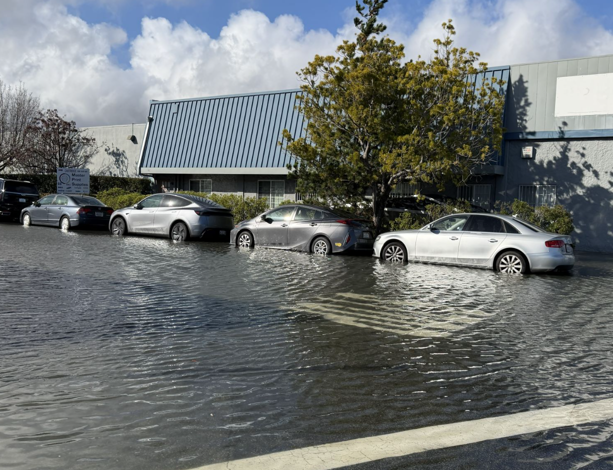
King tides are pushing water levels above normal along Burlingame's bayfront, with the National Weather Service warning of minor coastal flooding through Thursday morning, Aug. 13.
Walkers, cyclists and joggers who use the Bay Trail near the shoreline should expect wet conditions during evening high tides. The highest tide of the cycle hit Monday night at 7.2 feet around 10:25 p.m., according to NOAA data reported by Bay City News. Tuesday night's high tide is forecast at about 7 feet around 11 p.m., with Wednesday's peak near 6.8 feet around midnight.
The stretch of Bay Trail north of the San Francisco Marriott Hotel in Burlingame flooded during a January king tide event, according to OneShoreline, the regional flood-protection agency overseeing the Millbrae and Burlingame Shoreline Resilience Project. That section sits in an area the agency identifies as vulnerable to both storm surges and high-tide flooding from San Francisco Bay.
NWS meteorologist Dial Hoang told KQED that low-lying coastal areas near San Francisco and San Pablo bays are most likely to be affected. Hoang called the event "relatively minor compared to last winter's storms" but advised residents with flood-prone properties to sandbag and urged everyone to avoid driving through flooded roads.
Adding to the uncertainty: the Central Marin Police Department said recent king tides this summer have run 0.4 to 0.8 feet higher than predicted because of windy conditions and warmer ocean water tied to El Niño, SFGate reported. High tide timing can also shift up to 90 minutes along the coast.
As we reported Aug. 10, scientists have warned that a Super El Niño could bring record flooding to the Bay Area this winter.
What to do: Avoid low-lying sections of the Bay Trail during evening and overnight hours through Thursday morning. Don't drive through standing water. Residents in flood-prone areas should clear debris from gutters and drains and consider sandbagging.